Dublin Coastal Villages Food Trail in association with Interreg Atlantic POST Project & DLR Tourism
Explore VISITOR GUIDE
Explore our new visitor guide. Our uplands offer a huge range of activities and experiences, including walks, trails, ziplining, Ireland only dry ski/snowboarding ,viewpoints, restaurants, cafes, traditional Irish music and dance, horse riding, golf, and pitch and putt.
Explore VISITOR GUIDE
Collect your shamrock pin as a memento of our time in Dun Laoghaire. After competing the 9passport stamps we invite visitors to collect their pin at the tourism kiosk.
Pick Up your passport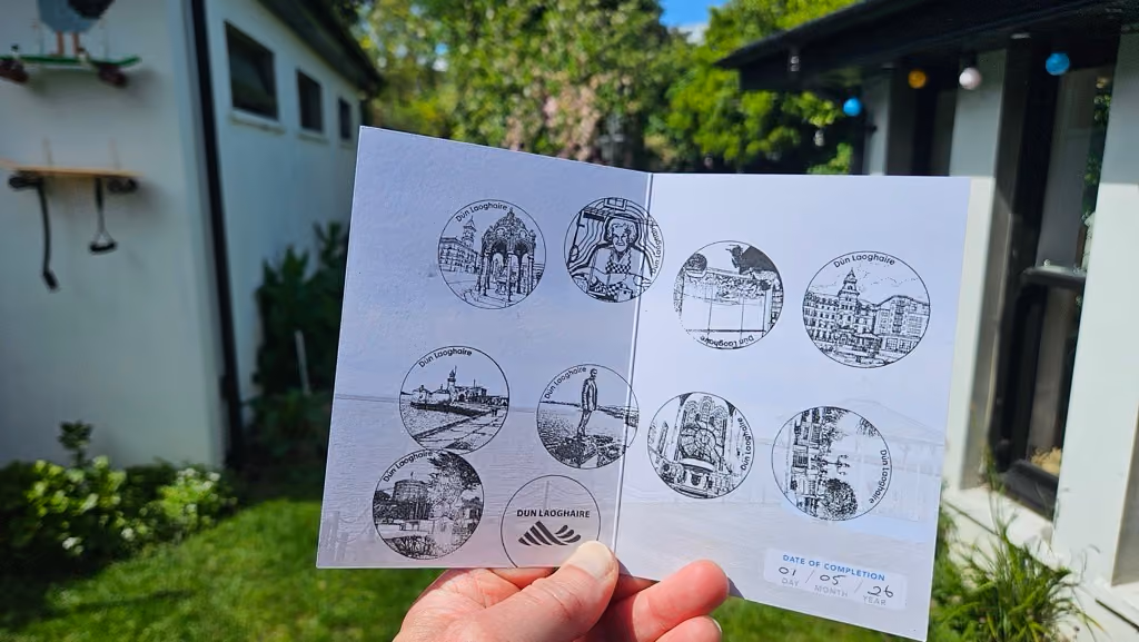
Explore the home of a wealth of literary history from James Joyce, Beckett to Maeve Binchy and Joseph O'Connor. Food, music, literature, comedy & heritage festivals take place annually.
Explore VISITOR GUIDE
The Dublin Coastal Trail offers a very different perspective on Dublin. You are guided along the way with stunning coastal views, villages & heritage towns, sailing activity, bathing spots, wildlife &The UNESCO Dublin Bay Biosphere.
Explore map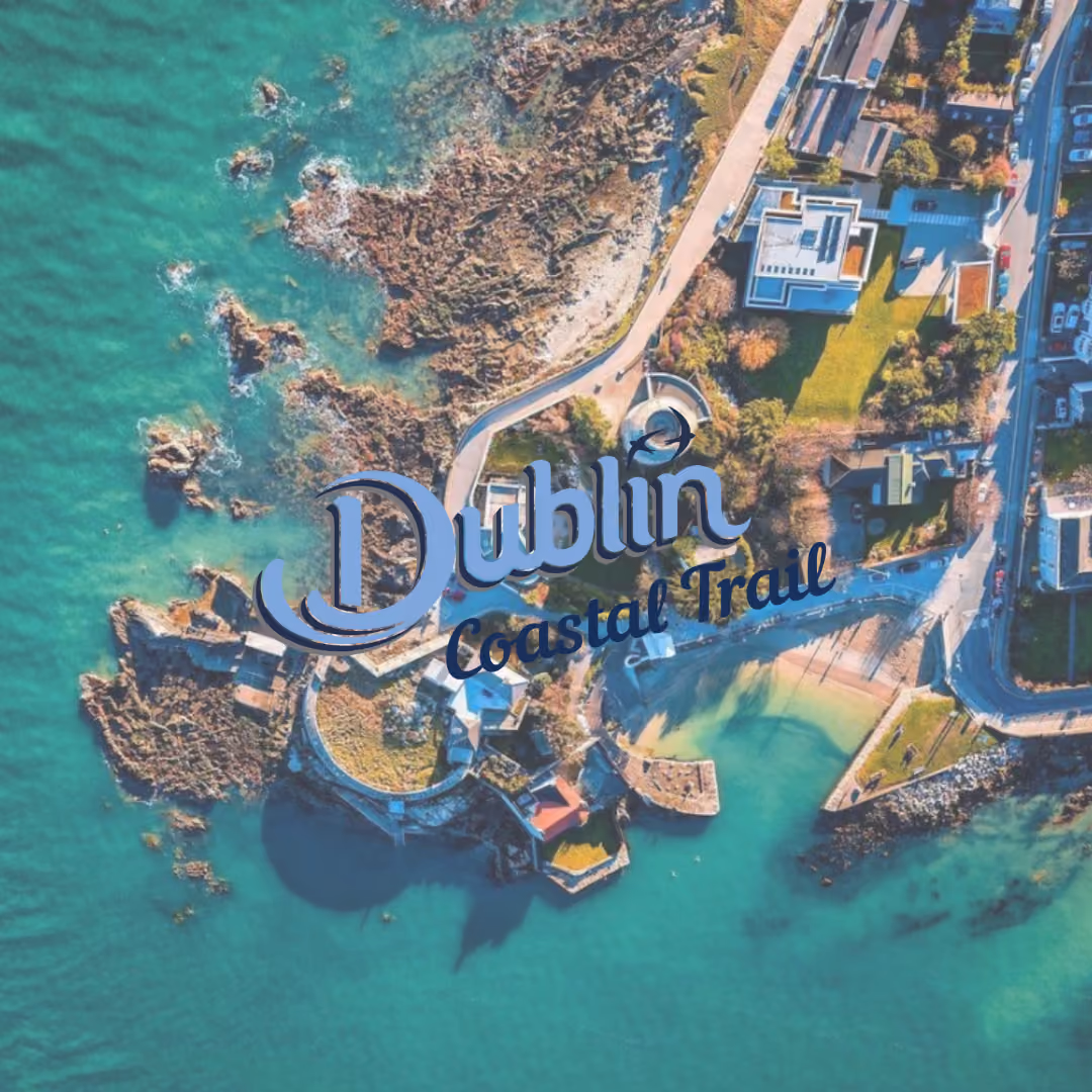
Explore our new visitor guides. The Urban Splash trail offers something for everyone, for families and couples of all ages, for thrill seekers, and for those who just want to soak it all in.
Explore Visitor guide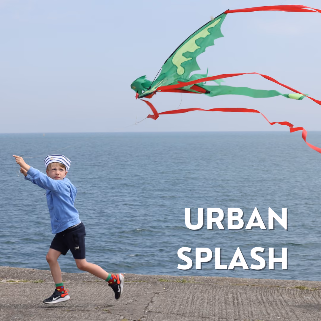
Our Dun Laoghaire map guides you through the heritage, retail, parks, walks and hidden gems that the beautiful town of Dun Laoghaire has to offer. Pop in to our tourism office to find out more.
Explore Town map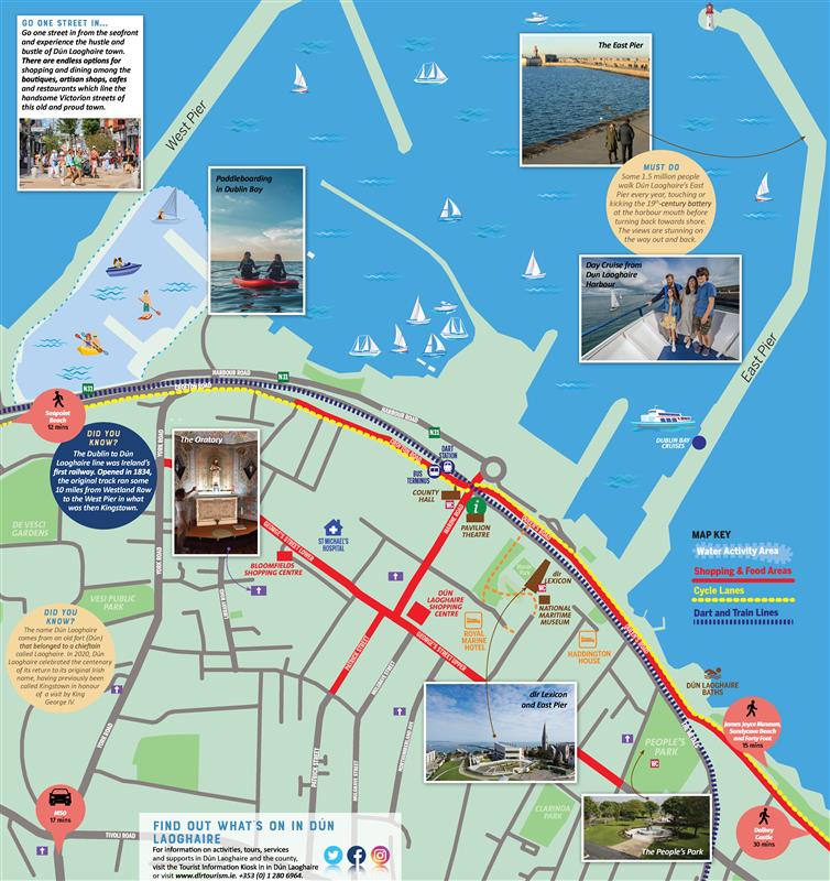
Dalkey is an urban oasis nestling on the east coast of Ireland just ten miles south of Dublin city. Dalkey is half an hour by DART train from Dublin City Centre.
Explore visitor guide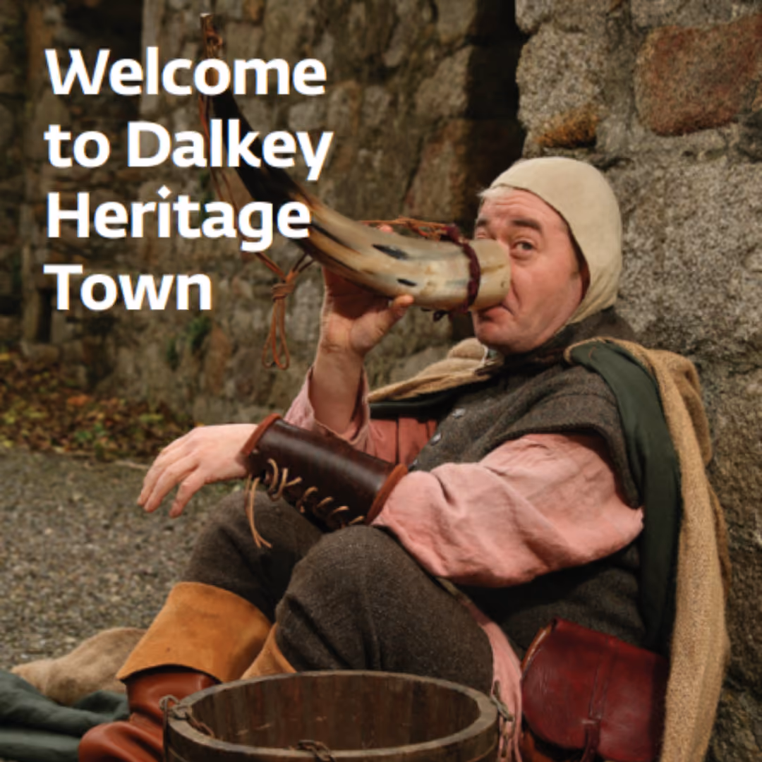
Discover the Dublin mountain trails, hikes, viewing points, cafes, outdoor adventures using this handy google map.
Explore activity map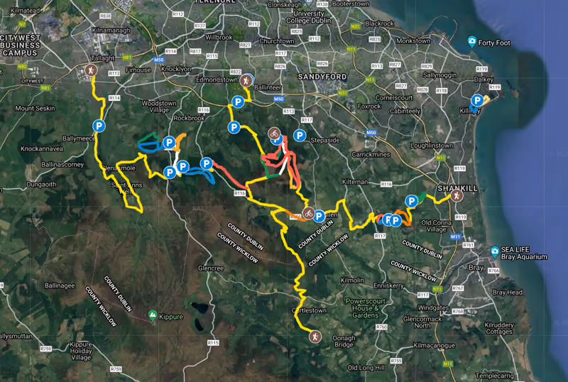
Experience the best walks & hikes of the Dublin Mountains on five of our main trails. Discover incredible viewing points, forests, a lead mine, a bronze age hillfort, a 6th century church ruin & a trek to pucks castle.
Tibradden or Teach Bruadain (the house of Bruadain) lies between Cruagh and Kilmashogue mountains and is about 320m above sea level.
Read more.avif)
Kilmashogue offers up to 10 km of mountain and forest walks with some spectacular views of Dublin City.
Read more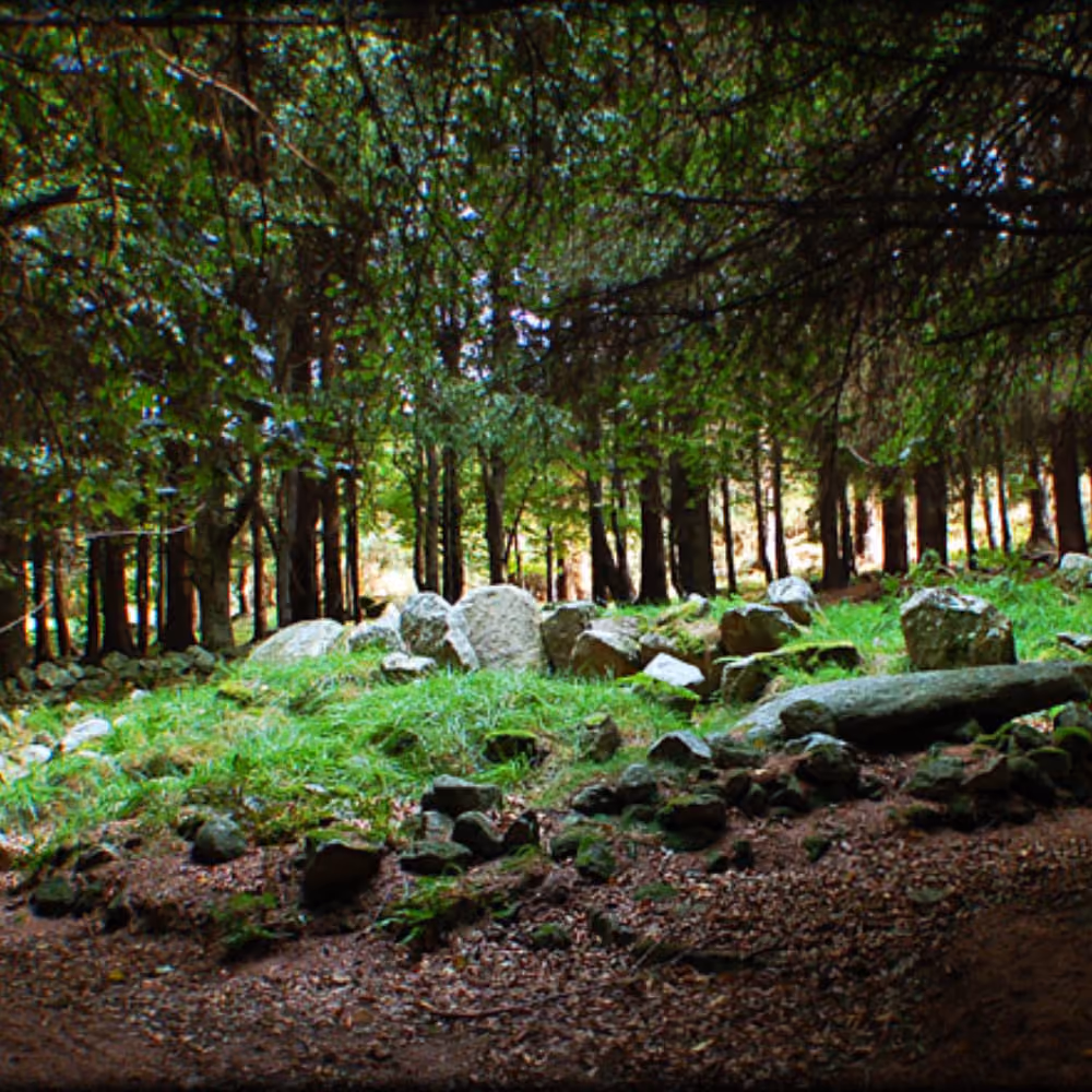
Barnaslingan Wood is a Coillte forest situated on the eastern slope of The Scalp (meaning crevice, chasm or cleft) one of the most spectacular natural features in the Dublin area.
Read more
Carrickgollogan Wood, located in the south east corner of Co. Dublin comprises around 85ha (210acres) of mixed woodland including Lodgepole pine, Noble fir, Japanese larch, Lawson cypress, Scots pine, Birch and Beech. In addition furze and heather can be found on unplanted areas/ditches.
Read more
Ticknock offers up to 10 km of mountain and forest walks with some spectacular views of Dublin City, Dublin Bay, Bray Head and Wicklow Mountains.
Read more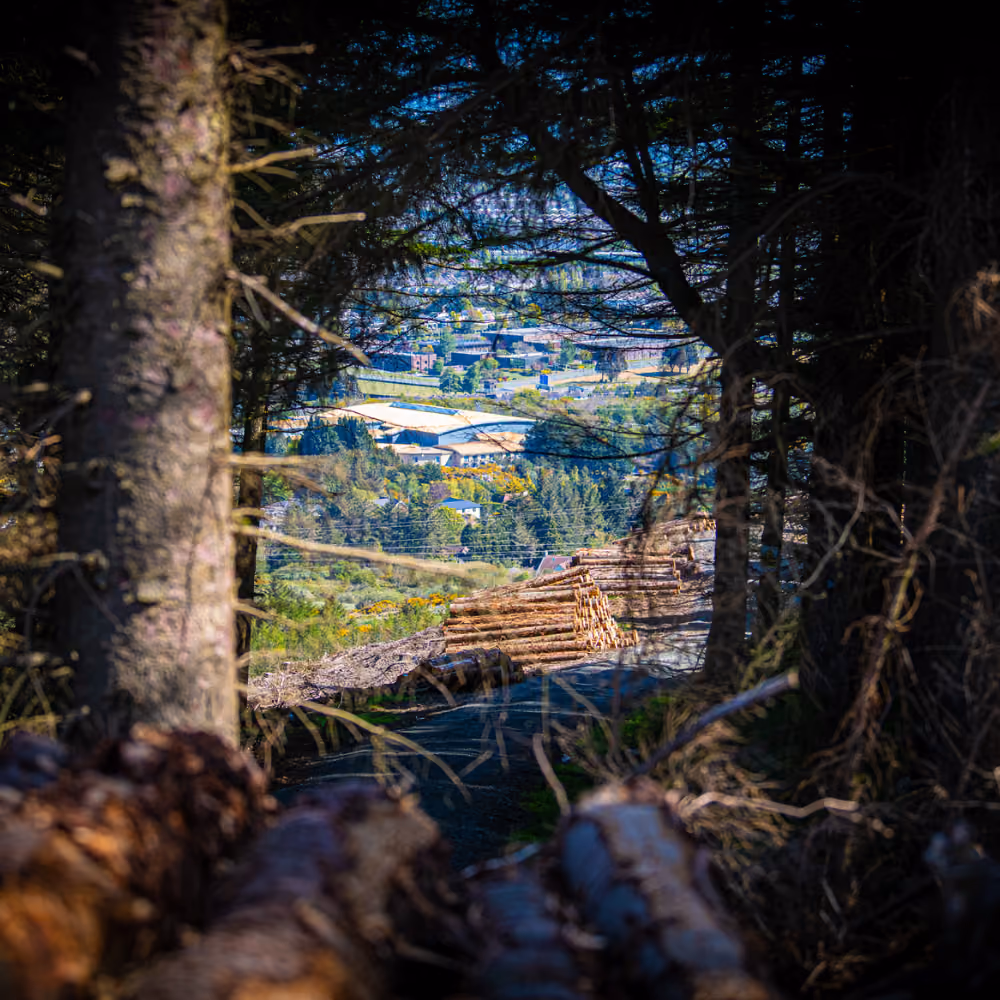
Discover the Dublin Mountain Way - A 42 km scenic walk across the Dublin Mountains -Accessible by public transport (DART / LUAS or Bus) and starts ends on the beautiful Dublin Bay.
Read more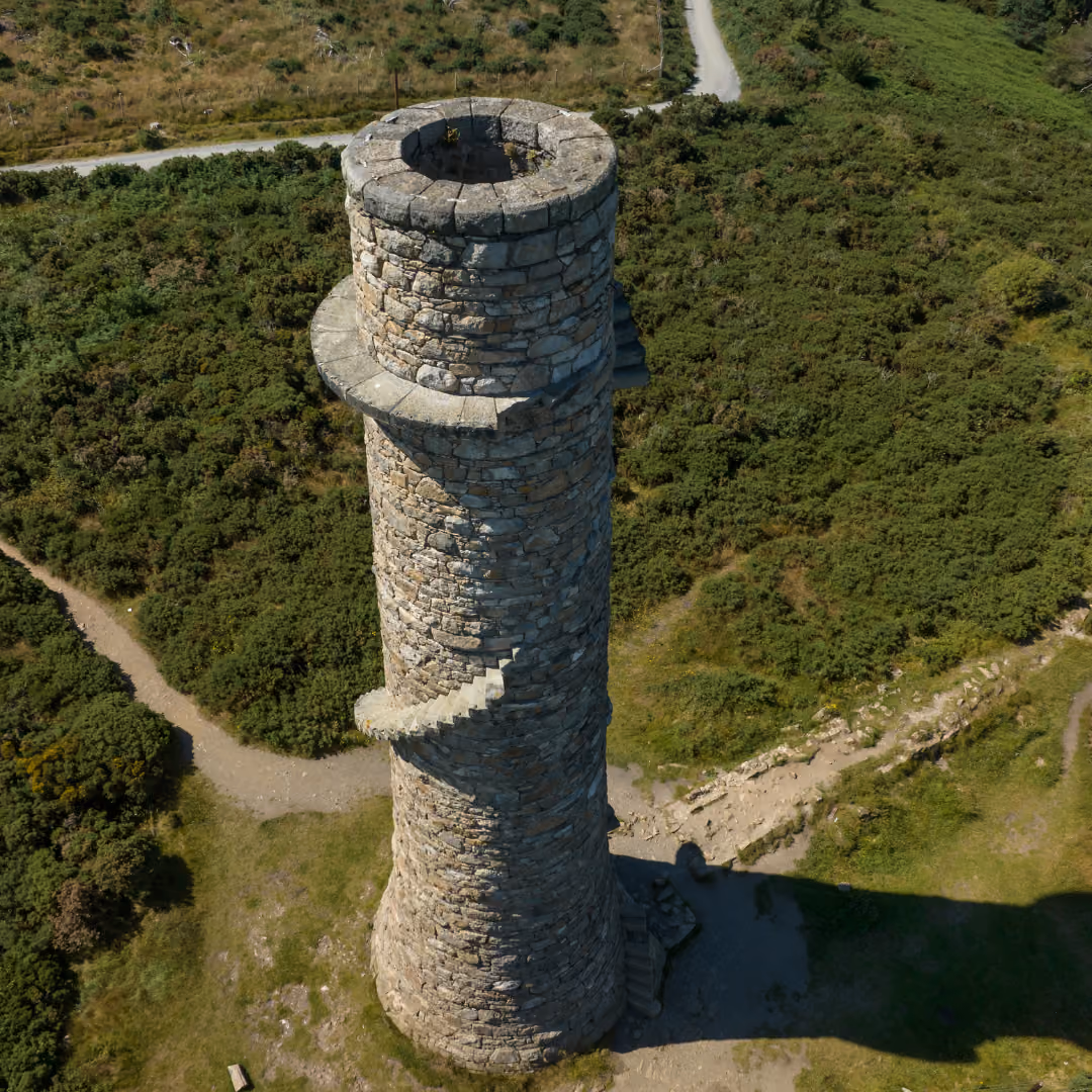

The TFI Go app allows you to buy tickets for various bus services around Ireland directly from your phone.
DOWNLOAD APP
Take the DART from a city centre station (Connolly Station, Pearse St, Tara St) south along the coast to our county.
view map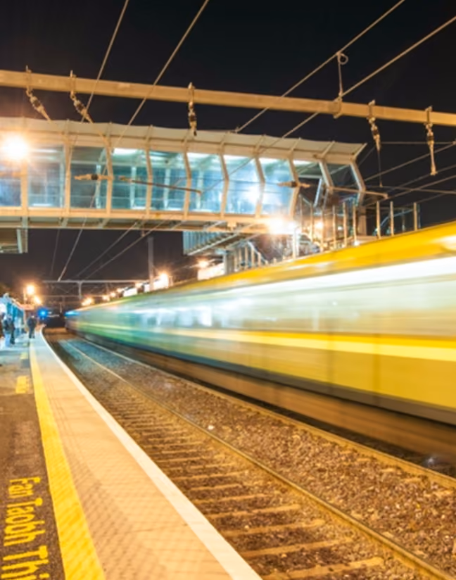
The green Luas crosses DLR from Dundrum, through Sandyford, Leopardstown and finishes at Brides Glen at the foot of the Dublin Mountains.
view map
The M50 motorway bypasses the city of Dublin from north to south . Dún Laoghaire is located approximately 7 kilometers south of the motorway. Exit 15 (Leopardstown/Carrickmines) or Exit 16 (Loughlinstown/Cherrywood) will lead to the N11, from which Dún Laoghaire is well signed and should take approximately 10-15 minutes to arrive.From the City Centre take the N11 via Stillorgan or via Blackrock on the R118 to head for Dún Laoghaire. Both routes are well sign posted.
plan your route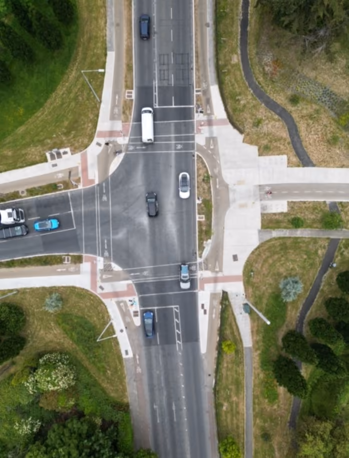
Our county is cycle friendly with new cycle routes between towns and along the coast.
See the cycling map below. Take a cycle trip along the Dublin Coastal Trail and take in beautiful views , local food and built history.

Dun Laoghaire – Rathdown Tourist Information Kiosk
The Metals,
Marine Road,
Dun Laoghaire.
T: +353 1 280 6964
E: info@dlrtourism.ie

Designed and developed by Ripple Marketing